

 ♫ La La La La La ♫
 czechtimelapse
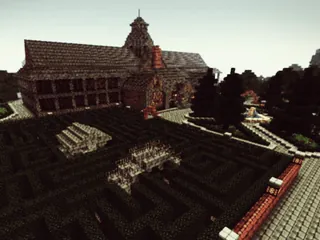 Burningtyres1
 cgutteridge
iBurningMySun MakoMemelord about December 2019
nandeman44 about November 2019
poiisonoustea about October 2019
DiGiDiX57 about October 2019
DiGiDiX57 about September 2019
Drin45 about August 2019
AttackRacer about July 2019
Bernardger 18 January 2021
Bernardger 18 January 2021
michaelandersen 13 January 2021
scottheflin589 4 January 2021
GrokkyHodor 6 December 2020
♫ La La La La La ♫
© 2011 MinecraftWorldMap.com. All Rights Reserved.